UN
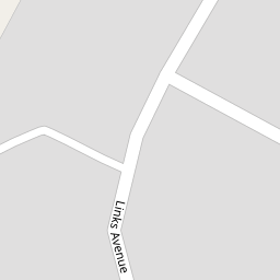
9 Links Avenue
£ 175,000
Description
We don't have a Description for this property.
- Bedrooms
- 3
- Bathrooms
- 0
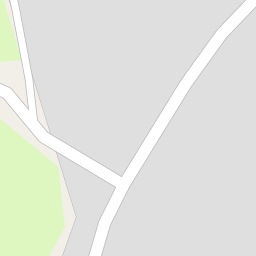
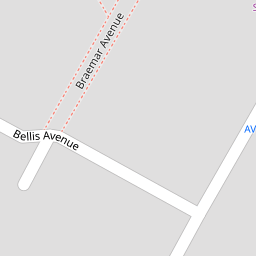


Leaflet © OpenStreetMap contributors
The heatmap indicates the level of crime in the area. The color of the heatmap indicates the crime severity and recency.
Metrics Year-on-Year
- Average area value
- 213,571.00 £Decreased by 10.43 %
- Average area rental value
- 998.00 £/moIncreased by 48.07 %
- Est rental Yield
- 5.61 %Increased by 65.49 %
- Crime Rate
- 15.00 %Unchanged by 0.00 %
from 238,437.00 £
from 674.00 £/mo
from 3.39 %
from 15.00 %
Nearby Schools
| Name | Type | Ofsted | Distance |
|---|---|---|---|
| Stanley High School | Academy Sponsor Led | Good | 0.88 KM |
| St Patrick'S Catholic Primary School | Voluntary Aided School | Outstanding | 1.14 KM |
| Holy Family Catholic Primary School | Voluntary Aided School | Good | 1.51 KM |
| Marshside Primary School | Community School | Requires improvement | 1.58 KM |
| Norwood Primary School | Community School | Good | 1.59 KM |
Images
Nearby Streets
| Name | Average Price | Average Sqft | Distance |
|---|---|---|---|
| Darwin Court | £ 0 | 0 | 0.00 KM |
| Beresford Drive | £ 295,000 | 0 | 0.00 KM |
| Montrose Drive | £ 276,590 | 0 | 0.00 KM |
| Carisbrooke Drive | £ 0 | 0 | 0.00 KM |
| Churchgate Mews | £ 0 | 0 | 0.00 KM |
Nearby Transport
| Name | NLC | TLC | Distance |
|---|---|---|---|
| Meols Cop | 2357 | MEC | 1.82 KM |
| Southport | 2262 | SOP | 3.18 KM |
| Birkdale | 2352 | BDL | 5.08 KM |
| Hillside | 2231 | HIL | 6.80 KM |
| Bescar Lane | 2351 | BES | 8.26 KM |
Nearby Listings
| Address | Price | Type | Score | Distance |
|---|---|---|---|---|
| Cambridge Road, Southport, Merseyside, PR9 | £ 220,000 | BUY | 6 / 10 | 0.27 KM |
| The Lawns, Southport | £ 390,000 | BUY | 6 / 10 | 0.27 KM |
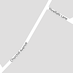
| Threfalls Lane, Southport | £ 117,500 | BUY | Unknown | 0.27 KM |
| Cambridge Road, Southport, Merseyside, PR9 | £ 150,000 | BUY | Unknown | 0.31 KM |
| Hesketh Road, Southport | £ 280,000 | BUY | Unknown | 0.37 KM |
Nearby Properties
| Address | Price | Distance |
|---|---|---|
| 29 Links Avenue | £ 180,000 | 0.00 KM |
| 17 Links Avenue | £ 270,000 | 0.00 KM |
| 12 Links Avenue | £ 124,500 | 0.00 KM |
| 27 Links Avenue | £ 165,000 | 0.00 KM |
| 47 Links Avenue | £ 48,500 | 0.00 KM |